
These aerial photographs are dated 01/03/2017. In future we will compare these with more recent photographs to see how the vegetation grows and the land is changing.
 View showing the access track to the hill. The strip of land was purchased and revegetated around about 2013.
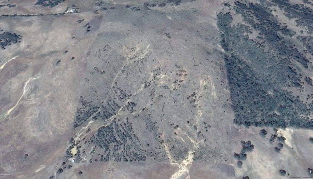 The hill and adjacent blocks looking south.
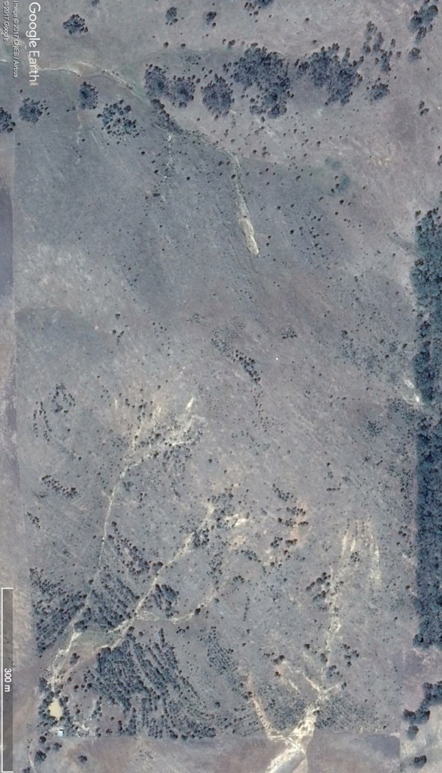 The block with dam in bottom left corner
